
Reliable 2D & 3D Machine Control Solutions
Excavator solution.
Manage your machines.

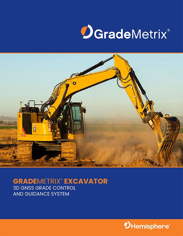
Brochure
GradeMetrix® Excavator Brochure
From compact excavators to large civil or mining machines, all are covered by the mastless VR500 all-in-one Smart Antenna or VR1000 Dual Antenna solutions.
GradeMetrix®
Excavator Solution
GradeMetrix® Excavator is packed with industry leading technology. It is easy to use and delivered at an affordable price. The system can easily be installed and calibrated.
From compact excavators to large civil or mining machines, all are covered by the mastless VR500 all-in-one Smart Antenna or VR1000 Dual Antenna solutions.
The GradeMetrix® Excavator system is designed to fit seamlessly into your existing site infrastructure using standard file formats and is compatible with most base station hardware and corrections. GradeMetrix Excavator, like all GradeMetrix solutions, provides a 3-year warranty for all major components.
New and experienced operators can dramatically increase accuracy, efficiency, and dependability with GradeMetrix® Excavator, resulting in significant ROI in your operations immediately.
Contact us for more information:
Contact UsKey features
GradeMetrix® Key Features
- Access to all GNSS satellite constellations; including GPS, GLONASS, BeiDou, Galileo, and QZSS. for maximum accuracy and coverage in difficult environments.
- GNSS receiver supports industry standard RTK formats including RTCM3.x, ROX, CMR, and CMR+
- 2, 2.5D, and 3D operation modes all standard..
- Operators can create trenches, slopes, and pads from within the cab.
- Supports tilt bucket, tiltrotator, and laser receiver as standard.
- Supports swing boom and knuckle boom excavators.
- Supports DTMs or 3D linework.
- Real-time Cut/Fill color maps are supported to show existing progress.
- Map projections and localized coordinate systems for simplified site alignment to existing designs and models.
Product images
Excavator solution in the field
Let’s talk
Request More Information
Contact us to learn more about our GradeMetrix solutions.